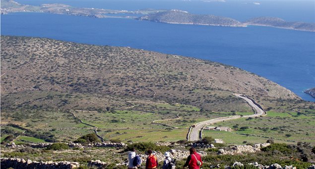
This 2km., signposted footpath passes by the chapel of Prophitis Ilias and ends at the island’s highest peak, Pappas, at 420m.
| |
Panagia | |
1hr |
| Length of route | 2,070m |
| Elevation data | Begins at an altitude of 165m, ends at 420m |
| Grade of difficulty | Degree of difficulty is moderate, though some more demanding stretches need to be countered |
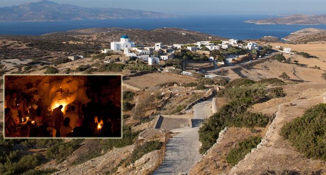
| Starting point | Panagia village |
| Means of accessing starting point (public transport, taxi or private car) and parking info | Panagia village is connected to the island’s asphalt road. Local public transportation is offered during the summer. |
| End of route | Papas summit –the highest point of Iraklia. |
| Means of departing from end of route | Back via the same track. |
| Suitable season | Recommended for spring and autumn visits |
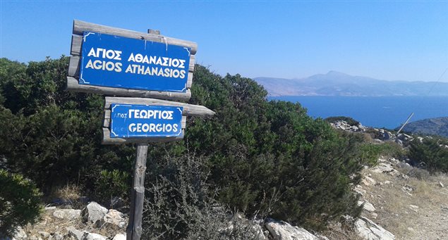
| Main sights along route | Traditional stone walls, terraces, old threshing floors, chapel, predatory birds, panoramic view of all nearby islands |