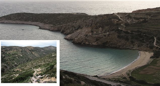
Right: Kedros beach; Cove of Gerantoni
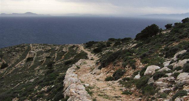
This route is marked with a red/white sign and number 4, is 1.8km. long and the trek takes about 40 minutes.
The route starts from the eastern side of Kedros beach and crosses the eastern side of the bay before it ends at Mylos.
The hull of a German ship sunk during World War II is clearly visible on Kedros’s
seabed.
Along the route you will come to the iron furnace where the mine ores were
transported to and loaded onto ships.
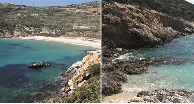
You will then pass by the small cove with the caves of Gerantonis and the superb waters, before ascending to Choristaria, where the millers used to keep their boats in the old days.
Last, after a short ascent you will end at Mylos. From there, you can see on your left Vathy Limenari bay and the Geometric Period settlement that was excavated by archaeologist Fotini Zaphiropoulou in 1967.
- Sign: Red-white badge with the number 4
- Overall direction: Southeast
- Points of interest-views: Kedros beach; Bay with the coves of Gerantoni; Lower Mylos (windmill); Vathy Limenari -Geometric Period settlement; and the hull of a German ship sunk during World War II, clearly visible on Kedros’s seabed.