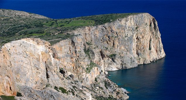
his route is 1.3m. long and takes 30 minutes on a level road. Vorini Spilia is a secluded bay that was utilized as a hideout by Allied ships during WWII, and features two small beaches.
| Cyclades | |
30 minutes |
| Length of route | 1,300m |
| Elevation data | Altitude is 15m at starting point and 0m at end (beach). |
| Grade of difficulty | Minutely demanding. |
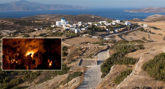
| Starting point | Agios Georgios. |
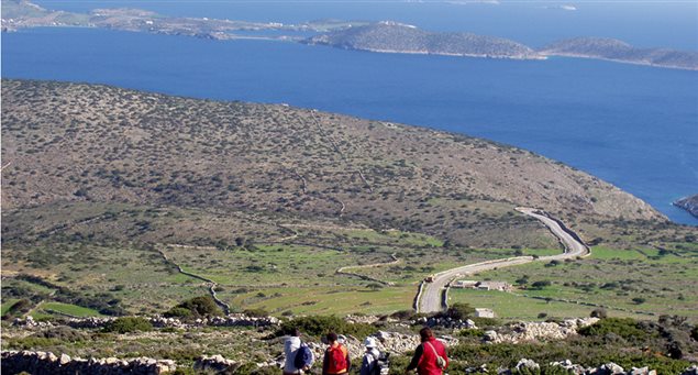
| Means of accessing starting point (public transport, taxi or private car) and parking info | Agios Georgios is the island’s port, from where the asphalt road network begins. |
| End of route | Vorini Spilia beach. |
| Means of departing from end of route | Return route along the same course. |
| Suitable season | Throughout the year. |
| Main sights along route | Route highlights include olive groves, grazing goats and sheep, wild flowers – depending on season – and a beautiful sandy beach at the hike’s end. The cove’s secluded nature was utilized as a hideout by Allied ships during WWII. |